
Explore Pune’s Geography: A Land of Diversity and Challenges
Exploring Pune District’s Geography: A Land of Diversity and Challenges
Pune District, the cultural and educational heart of Maharashtra, is as diverse in its geography as it is in its people. From the misty Sahyadri Mountains to the arid plains of the Deccan Plateau, this sprawling district shapes the lives of its 9.4 million residents. At icarepune.com (ICP), we believe understanding Pune’s geography is key to building a sustainable, inclusive city that prioritizes its people—walkers, cyclists, and nature lovers alike. Join us as we explore the geographical facts that make Pune unique, the challenges they pose, and how you can help shape a better future for our district.
Where Is Pune District?
Pune District lies in Western Maharashtra, nestled between 17°54’ and 19°2’ North latitude and 73°19’ and 75°10’ East longitude. Covering 15,642 square kilometers, it’s the second-largest district in Maharashtra, accounting for 5.1% of the state’s area. Bordered by Ahmadnagar (northeast), Solapur (southeast), Satara (south), Raigad (west), and Thane (northwest), Pune is strategically located 160 km southeast of Mumbai, making it a bustling hub for education, IT, and manufacturing. The district’s administrative center, Pune city, sits at 560 meters above sea level on the leeward side of the Western Ghats, with Vetal Hill (800 meters) as its highest urban point and Sinhagad Fort (1,300 meters) just outside. This elevation gives Pune a pleasant climate, earning it the title “Queen of the Deccan.” A Triad of Landscapes: Ghatmatha, Maval, and Desh.
Pune District’s landscape is a triangular mosaic, divided into three distinct regions:
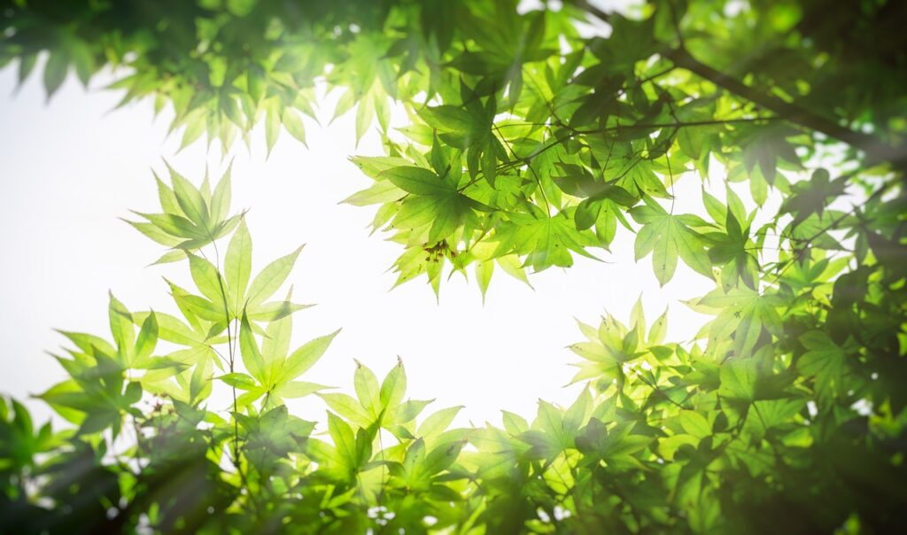
Ghatmatha: The western hilly zone along the Sahyadri Mountains, including talukas like Velha, Mulshi, and Maval. Covered in lush forests, this area is a biodiversity hotspot but prone to landslides during monsoons.
Maval: A transitional zone with rolling hills and valleys, home to talukas like Khed and Ambegaon. It balances agriculture and industry, with scenic spots like Lonavala.
Desh: The eastern plains of the Deccan Plateau, encompassing talukas like Shirur, Daund, and Baramati. These dry, semi-arid areas support crops like jowar and sugarcane but face water scarcity.
This diversity shapes Pune’s identity, from the misty ghats to the sunbaked plains, but it also creates challenges like uneven development and flood risks.
A Climate of Contrasts:
Pune District has a tropical wet and dry climate, with three seasons: summer (March–May), monsoon (June–October), and winter (November–January). Temperatures range from 10°C in winter to 38°C in summer, with April being the hottest month. Nights remain cool due to the district’s altitude, making Pune a “pensioner’s paradise.”
Rainfall, however, is strikingly uneven:
Western Ghats (e.g., Tamhini Ghat): Receive 3,000–9,644 mm annually, with Tamhini Ghat recording 9,644 mm in 2024, outpacing Cherrapunji as India’s wettest place. Talukas like Velha, Mulshi, and Maval are in the high-rainfall zone.
Pune City: Averages 722 mm, mostly in July, with 87% of rain falling during monsoon months.
Eastern Plains (e.g., Baramati): As low as 394 mm, making them semi-arid and drought-prone.
This disparity fuels challenges like flooding in the west and water scarcity in the east, impacting urban planning and pedestrian safety—core concerns for ICP.
Rivers That Shape Pune:
Pune District is cradled by the Bhima River and its tributaries, including the Mutha, Mula, Pavana, Indrayani, Ghod, and Nira. Pune city lies at the confluence of the Mula and Mutha, forming the Mula-Mutha River, which joins the Bhima near Daund.
These rivers are lifelines but also sources of concern:
Mutha River: Originates in the Western Ghats, fed by Khadakwasla Dam, 20 km from Pune. It’s critical for water supply but heavily polluted, with untreated sewage raising BOD levels beyond CPCB standards. Concrete walls, like those from Hingne Khurd to Omkarashwar, aim to control floods but trap pollutants, as noted by groups like Jeevitnadi.
Mula River: Starts at Mulshi Dam, merging with the Mutha in Pune. It’s choked with hyacinth and waste, reducing flow except during monsoons.
Pavana and Indrayani: Flow through northwestern talukas, with dams like Pavananagar and Valvan. Both are polluted, impacting communities in Pimpri-Chinchwad.
Flooding is a major issue, with rivers like the Mutha (Pune city, Mulshi) and Bhima (Shirur, Daund) overflowing during heavy rains, exacerbated by encroachments and concrete channelization. ICP advocates for restoring natural river flows and pedestrian-friendly riverfronts to balance flood control with ecological health.
Environmental Challenges
Pune District’s geography brings unique challenges that ICP is committed to addressing:
Flooding: Talukas like Pune city, Mulshi, Shirur, and Daund are flood-prone due to rivers like the Mutha and Bhima. Encroachments (46% of the red flood line) and concrete walls (e.g., Hingne Khurd–Omkarashwar) worsen risks by narrowing riverbeds, as warned by the Central Water and Power Research Station.
Landslides: Heavy monsoon rains in Ambegaon, Junnar, and Mulshi trigger landslides, threatening lives and infrastructure.
Earthquake Risk: Most of Pune falls in Zone III (moderate risk), but parts of Bhor and Velha are in Zone IV (high risk), requiring quake-resistant urban planning.
Pollution: The Mutha and Mula rivers are “dead” due to sewage and industrial waste, with concrete walls trapping pollutants. This impacts pedestrian access to riverfronts and public health.
Uneven Rainfall: The stark contrast between wet ghats and dry plains strains water management, affecting agriculture and urban water supply.
These challenges highlight the need for sustainable policies that prioritize people over unchecked development, a core ICP mission.
Why Pune’s Geography Matters:
Pune’s geography isn’t just facts and figures—it’s the heartbeat of our district. The Sahyadris inspire trekkers, the Mutha shapes our daily lives, and the Deccan plains fuel our economy. But issues like flooding, polluted rivers, and unsafe pedestrian paths demand action. At ICP, we’re working to make Pune a city where geography enhances, not endangers, lives. From advocating for eco-friendly riverfronts to safer crossings, we’re committed to a Pune that’s walkable, green, and resilient.
Pune’s geography is our shared heritage. Together, we can ensure it remains a source of pride, not peril. Explore, engage, and act with ICP to build a better Pune!
icarepune.com | Because Pune Cares